
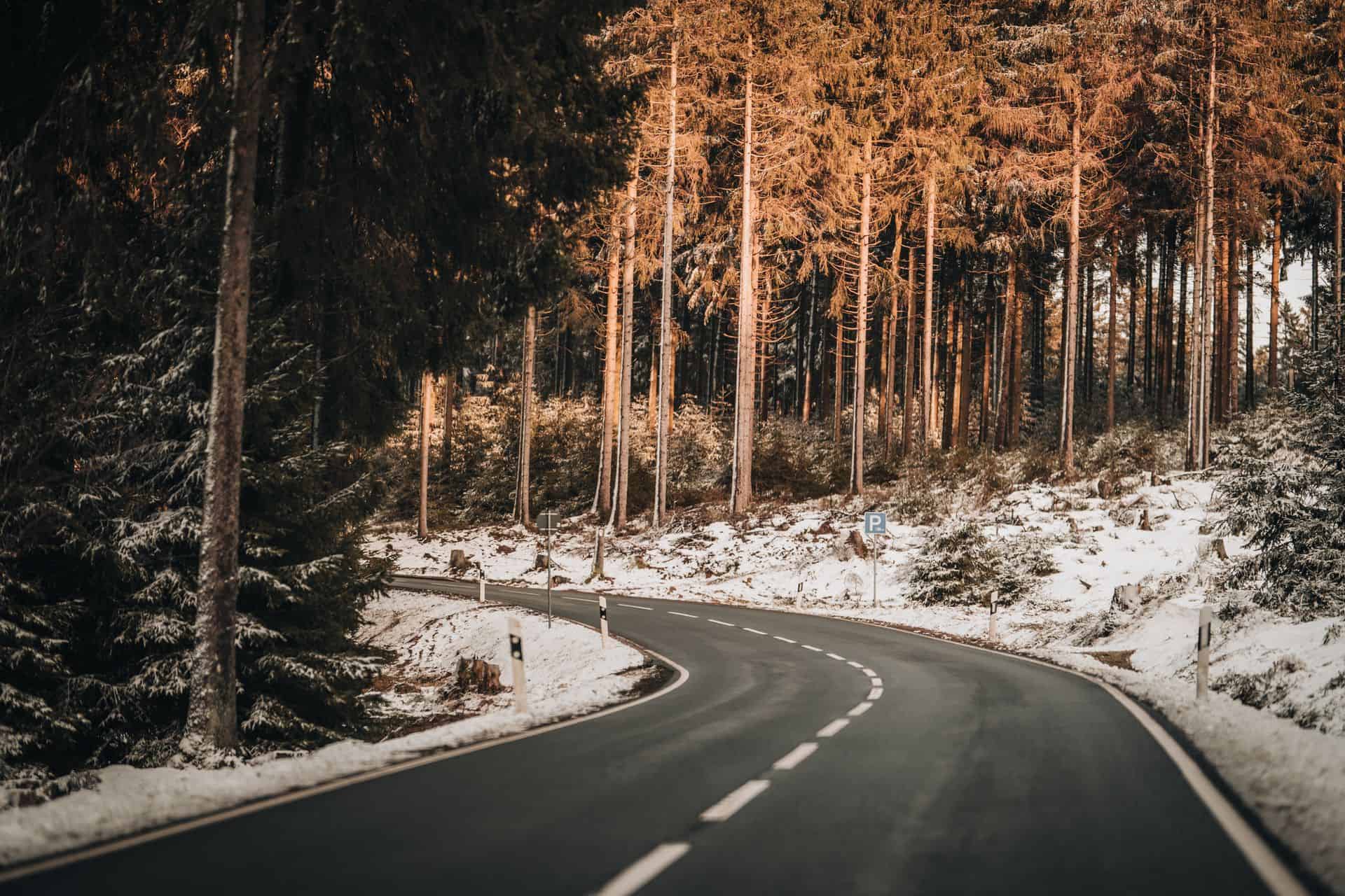
Forest roads are necessary for forestry, fire prevention, emergency access and monitoring, but they can also fragment habitats, increase disturbance and create barriers to animal movement.
The 4PETHABECO connectivity analysis shows that large carnivores use the landscape differently. Wolves can move through a relatively broad range of mixed landscapes, bears depend more strongly on continuous mountain and forest systems, while lynx rely on narrow, forested connections and are especially vulnerable to fragmentation. Forest-road decisions should therefore be based on species-specific maps rather than on a single general model.
Why Forest Roads Matter
Large carnivores need extensive and connected landscapes. Their home ranges may cover hundreds of square kilometres, while dispersing animals may travel much farther. Protected areas alone are therefore not enough: movement also depends on the surrounding multi-use landscape, including managed forests.
Forest roads can affect connectivity by:
- removing or opening forest cover;
- increasing traffic, noise and human access;
- facilitating settlement, recreation or illegal activity;
- increasing collision and mortality risk;
- dividing core habitats or narrowing movement corridors.
The effect is species-specific:
- Brown bears depend strongly on extensive forested
mountain areas with low human pressure. High road
density reduces effective habitat and increases risk. - Grey wolves are more adaptable and can move
through forest–agricultural mosaics, but still avoid
heavily urbanised and infrastructure-dense areas. - Eurasian lynx are the most sensitive. They depend on
continuous, structurally complex forest and often move
through narrow corridors that can be disrupted by
even relatively small changes.
A road should therefore be assessed not only as a local forestry
asset, but also as part of a wider ecological network.
Using Connectivity Maps to Identify Critical Areas
4PETHABECO maps combine telemetry data, verified occurrence records and environmental information on topography, forest cover, open land, climate and human influence.
The models identify:
- suitable habitat;
- core areas;
- broad movement zones;
- narrow corridors;
- high-flow areas;
- bottlenecks or “pinch points”.
The connectivity model converts habitat suitability into landscape resistance: areas with suitable habitat are easier to cross, while urbanised, intensively cultivated or highly disturbed areas create greater resistance. High cumulative movement flow indicates places where animal movement is concentrated, while pinch points show where a corridor narrows and may be especially vulnerable. Before planning or upgrading a forest road, managers should check whether the route overlaps:
- a species-specific core area;
- a high-connectivity zone;
- a narrow bottleneck;
- a link between protected and unprotected habitat;
- an area already affected by several roads or other
infrastructure.
The maps should be used early in planning, not only after a route has already been selected.
Planning New Forest Roads
The first question should be whether a new road is necessary.
Where possible:
- use or improve existing routes instead of creating new
ones; - avoid core habitats and high-connectivity zones;
- avoid crossing narrow forest corridors;
- keep the route as short and compact as possible;
- follow already modified landscape edges rather than
dividing intact forest; - retain connected vegetation on both sides;
- assess the combined effect of nearby roads, energy
infrastructure and settlements.
The D3.1.1 analysis recommends applying a clear mitigation hierarchy:
- Avoid core habitats and critical corridors.
- Minimise the area affected and the level of
disturbance. - Restore temporary tracks and disturbed habitat after
use. - Mitigate unavoidable barriers with suitable crossing
measures.
Species-specific sensitivity must guide the decision. A route that may remain permeable for wolves could still create a serious barrier for lynx.
Managing Traffic and Seasonal Access
The road surface is only part of the problem. Traffic volume,
speed, timing and access rules may determine whether a road
remains permeable to wildlife.
Recommended measures include:
- limiting access to authorised vehicles;
- using barriers or gates where appropriate;
- closing temporary forestry roads after operations;
- reducing night-time traffic;
- applying low speed limits;
- avoiding unnecessary journeys;
- introducing temporary restrictions in sensitive areas;
- preventing recreational or secondary use from expanding without assessment.
Seasonal restrictions may be useful near breeding, denning or regularly used movement areas. These should be based on local monitoring and advice from competent authorities, since sensitive periods differ among species and regions. Where a road passes through a pinch point, even a moderate increase in traffic may have a disproportionate effect because animals have few alternative routes.
Maintaining Existing Roads Without Increasing Fragmentation
Routine maintenance should not gradually turn a low-impact
forest road into a wider and more disruptive corridor.
Good practice includes:
- avoiding unnecessary widening or straightening;
- limiting vegetation removal to what is required for
safety; - retaining forest cover close to the road;
- avoiding permanent lighting;
- keeping drainage works within the existing footprint
where possible; - restoring temporary extraction tracks;
- avoiding new parking areas, lay-bys and access spurs
unless essential; - preventing erosion and damage to nearby streams;
- removing waste and materials that may attract
wildlife.
Managers should also review whether all roads still serve an operational purpose. Redundant routes may be closed, narrowed or restored, especially where they affect important corridors.
Crossing Points and Mitigation Measures
Where a road cannot be avoided, mitigation should be placed where connectivity models and field data indicate likely movement.
Possible measures include:
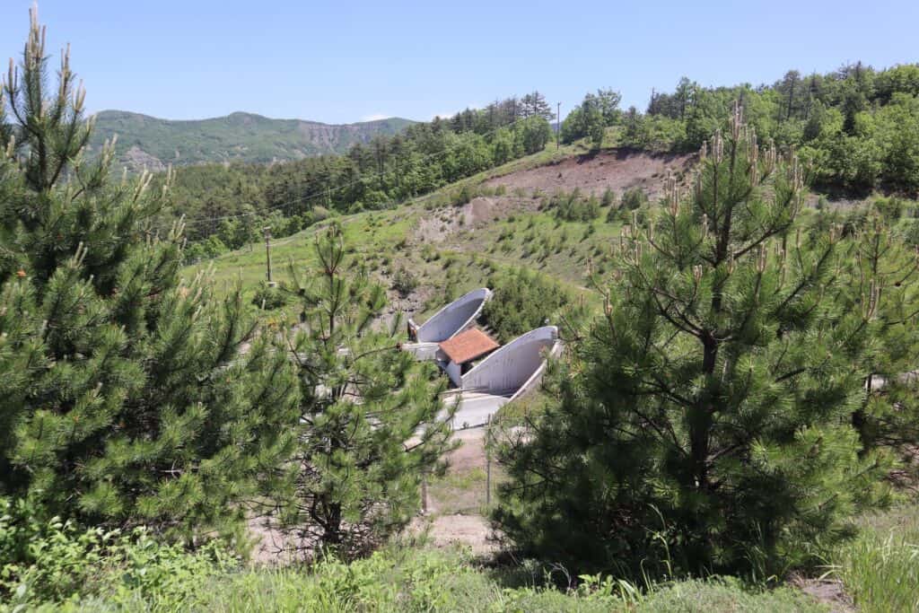
- wildlife underpasses;
- vegetated overpasses or green bridges;
- adapted culverts;
- passages beneath bridges;
- fencing that guides animals towards safe crossings;
- traffic-calming measures;
- reduced speed zones;
- targeted warning signs;
- habitat restoration leading to crossing structures.
D3.1.1 identifies pinch points as infrastructure priorities. Where existing roads already cut through these areas, connectivity maps can help locate crossing structures where they are most likely to provide ecological value.
A crossing should:
- connect suitable habitat on both sides;
- be large and sheltered enough for the target species;
- avoid heavy human use;
- include natural cover at entrances;
- be linked to guiding vegetation or fencing;
- be inspected and maintained over time.
Poorly designed fencing can create an additional barrier or trap animals on the road. It should always guide movement towards a functional crossing.
Monitoring the Effects of Road Management
Monitoring is essential because a measure that looks appropriate on a map may not work as expected in the field.
Useful methods include:
- camera traps at crossing points;
- track and sign surveys;
- telemetry;
- genetic monitoring;
- roadkill and mortality records;
- raffic counters;
- reports from foresters, hunters and local residents.
The monitoring programme should answer clear questions:
- Are animals still using the corridor?
- Are they using the crossing structure?
- Has traffic increased?
- Has road mortality changed?
- Is the road acting as a barrier for one species more
than another? - Is additional restoration or access control needed?
Results should be reviewed regularly and used to adapt road
management.
The D3.1.1 models were built with current environmental conditions to reduce the risk of identifying outdated “ghost corridors”. However, land use and infrastructure continue to change, so maps and management decisions should be updated periodically.
Map and GeoPortal Resources
The 4PETHABECO GeoPortal should provide separate layers
for:
- brown bear habitat suitability;
- grey wolf habitat suitability;
- Eurasian lynx habitat suitability;
- species-specific core areas;
- connectivity corridors;
- cumulative movement flow;
- critical bottlenecks;
- protected areas;
- roads and other infrastructure;
- multi-species priority areas.
For practical road planning, users should be able to compare a proposed route with several layers at once.
How to use the maps
- Select the target species.
- Locate the proposed or existing road.
- Check whether it crosses a core area or high-
connectivity zone. - Identify nearby pinch points.
- Compare alternative routes.
- Review protected areas and other infrastructure.
- Download or request detailed spatial data.
- Contact the relevant authority before making a final
decision.
The D3.1.1 maps show that connectivity priorities differ among species: wolves need broad landscape permeability, bears depend on connected mountain and forest systems, and lynx require the protection of narrow forested pathways. A multi-species map is useful for regional planning, but it should not replace the species-specific analysis needed for individual road decisions.