iNaturalist is the platform where naturalists and curious people worldwide record what they see, and it gathers observations of the four species at the centre of 4PETHABECO: the grey wolf, the brown bear, the golden jackal and the Eurasian lynx.
What has been collected so far
Since the project opened in November 2025, participants have contributed more than 8,000 observations across the four target species. The grey wolf accounts for the large majority; the Eurasian lynx, the rarest of the four in this region, for fewer than a hundred records — which is in itself a finding worth having.
Citizen science does not replace systematic monitoring by research institutions — it extends its reach. A single photograph of a track in a valley no survey has reached this year can be the first indication that a species is present there, and that is exactly the kind of information that changes how a habitat is managed.
Wildlife Sightings Map (iNaturalist)
The Wildlife Sightings Map shows citizen-scientist wildlife observations from iNaturalist for four large carnivores across the project area: grey wolf, Eurasian lynx, brown bear, and golden jackal.
Each dot is one observation, filterable by species and by data quality — “Research Grade” (verified), “Needs ID” (unconfirmed), or “Casual”. A time slider steps through sightings year by year, with play/pause for an animated view. Clicking a point opens its details; shaded background areas mark the project region for context.
Because sightings come directly from the public via iNaturalist, this data reflects real-time field reports rather than the project’s scheduled monitoring surveys.
How it works
You do not need to be a biologist, and you do not need to sign up for anything beyond a free iNaturalist account.
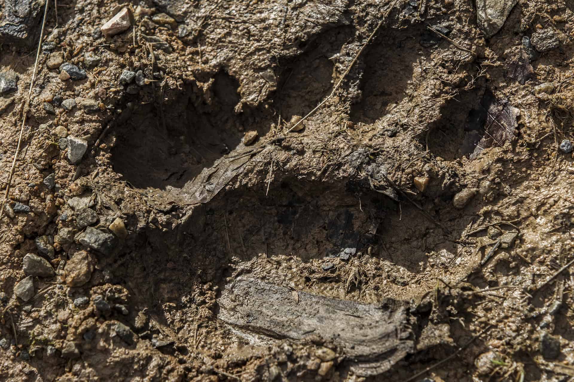
- Record what you find. A photograph of a track, a sighting, a sign of presence — with the date and location your phone records automatically.
- The community helps identify it. Other users, specialists among them, confirm or correct the identification. An observation with an agreed identification becomes usable data.
- It joins the regional picture. Any observation of the four species made inside the project area is collected automatically, and will feed into the 4PETHABECO GeoPortal.