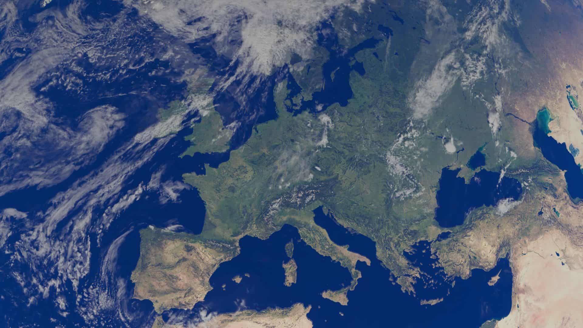
Large carnivores do not recognise borders. A wolf pack ranging along a mountain chain may cross three countries in a single season, and for years the data describing those movements sat in separate national archives, in different formats, answering different questions.
The GeoPortal is a platform where the monitoring data, the habitat analyses and the results of our pilot work are published as maps.
How large carnivores are talked about
Whether a wolf returning to a valley is received as a recovery or as a threat depends on what people there have read, heard and discussed — and that varies enormously across the region.
This map measures it. Press coverage of large carnivores is collected region by region and scored automatically on a scale from negative to positive, giving an average tone for each area along with the number of articles behind it. The result is a map of the conversation, not of the animals: it shows where the debate is warm, where it is neutral, and where there is barely any coverage at all.
t is deliberately statistical. The individual articles are not republished here — what is published is the pattern they form, which is what matters for understanding where coexistence work meets resistance and where it meets support.
Coming soon
Ecological connectivity
A habitat that a species cannot reach is not habitat. What decides whether a population survives in the long run is often not the quality of the forest it lives in, but whether that forest is still connected to the next one — across a motorway, a valley floor, a stretch of farmland.
This map shows the connections: where the corridors run, where they narrow, and where they have been cut. It is the layer that turns a distribution map into a management question.
Coming soon